From left to right: Legacy of Summerland, Growing Dependence on Oil, Historic 1969 Oil Spill. Image Courtesy James Von Essen
Twelve large flags, each four by six feet, fly in a row adjacent to the Santa Barbara Museum of Natural History Sea Center. They illustrate the history of oil in the Santa Barbara region, from its geological formation millions of years ago to its contemporary uses in daily life.
Video Courtesy James Von Essen
1. Geological Formation of Oil
2. Role of Oil in the Ecosystem
3. Chumash Use of Oil
4. Summerland Oil Field
5. Legacy of Summerland
6. Growing Dependence on Oil
7. 1969 Platform A Oil Spill
8. Environmental Impact
9. Activist Response
10. Political Response
11. 2015 Refugio Oil Spill
12. Chumash Heritage Marine Sanctuary
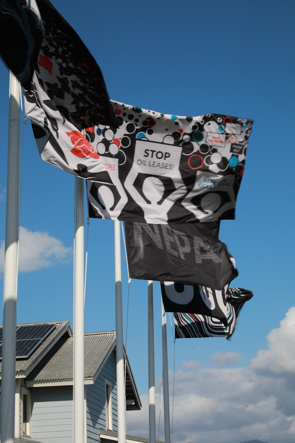
Left: Activist Response to the 1969 Oil Spill. Image Courtesy James Von Essen
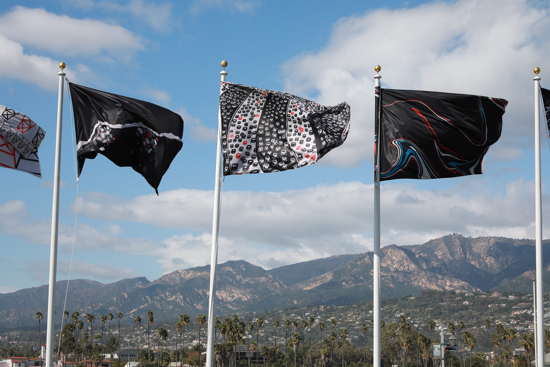
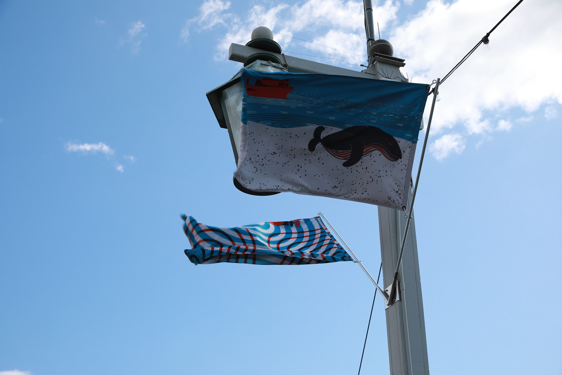
Right: Growing Dependence on Oil above a pier full of oil-dependent cars. Image Courtesy James Von Essen
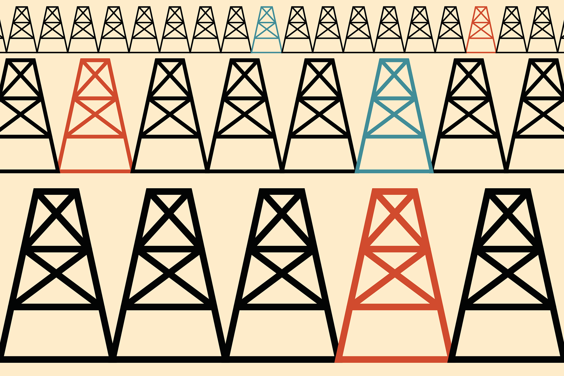
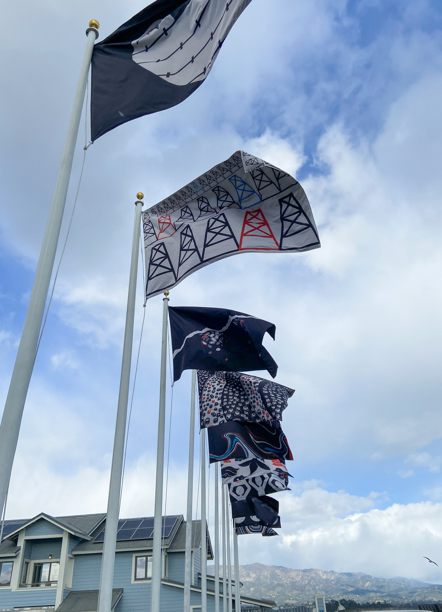
Four of the twelve flags (4'x6') in the timeline.
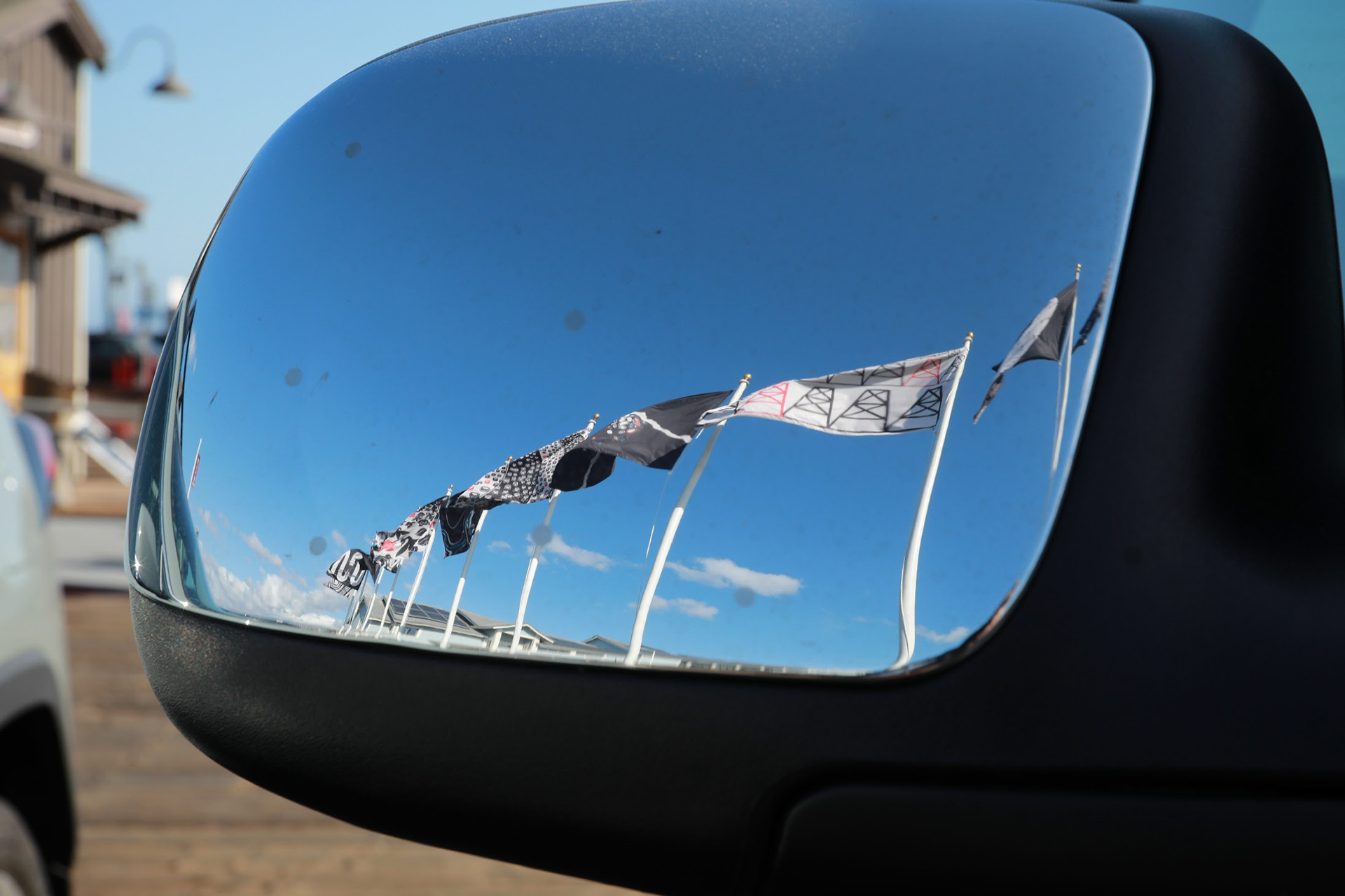
Image Courtesy James Von Essen
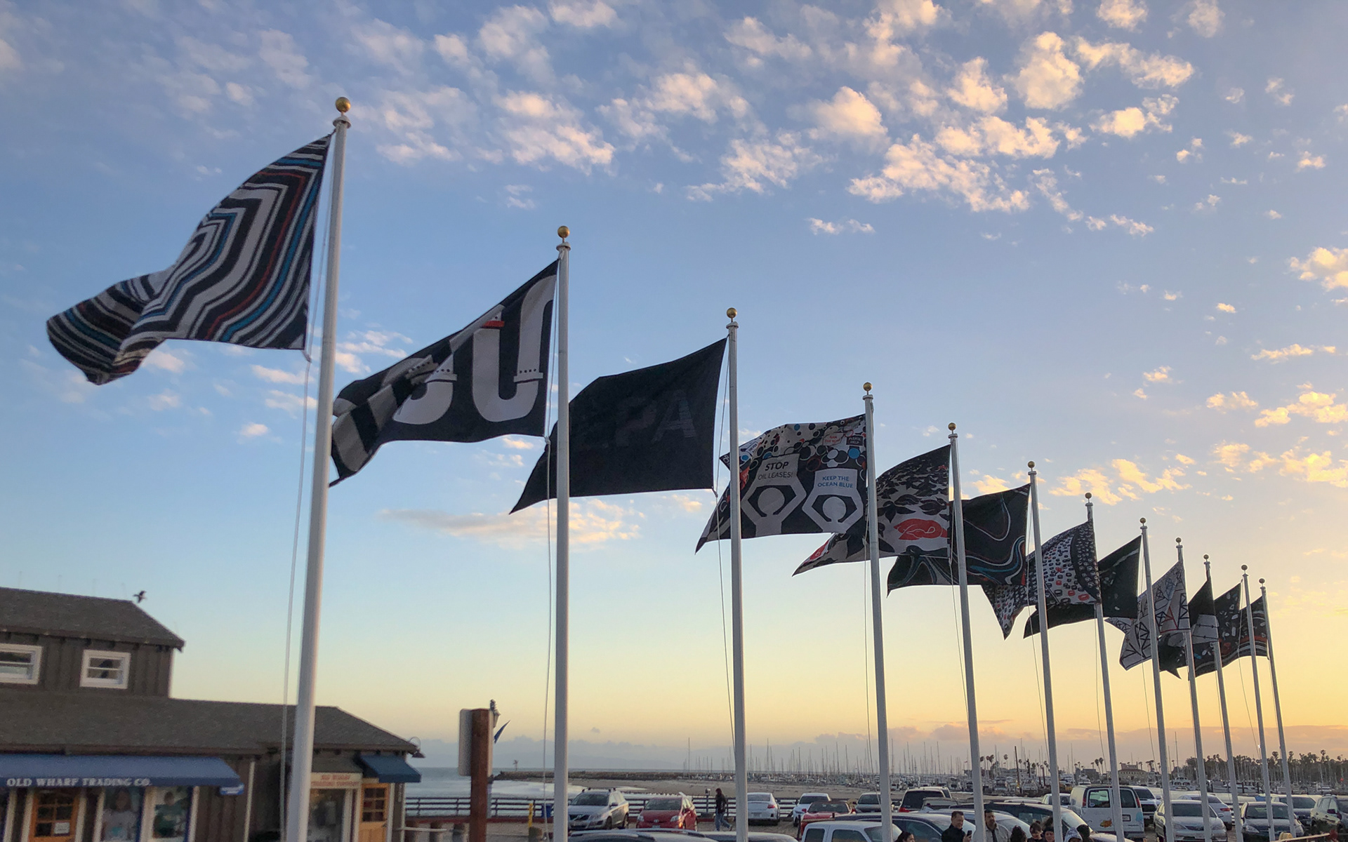
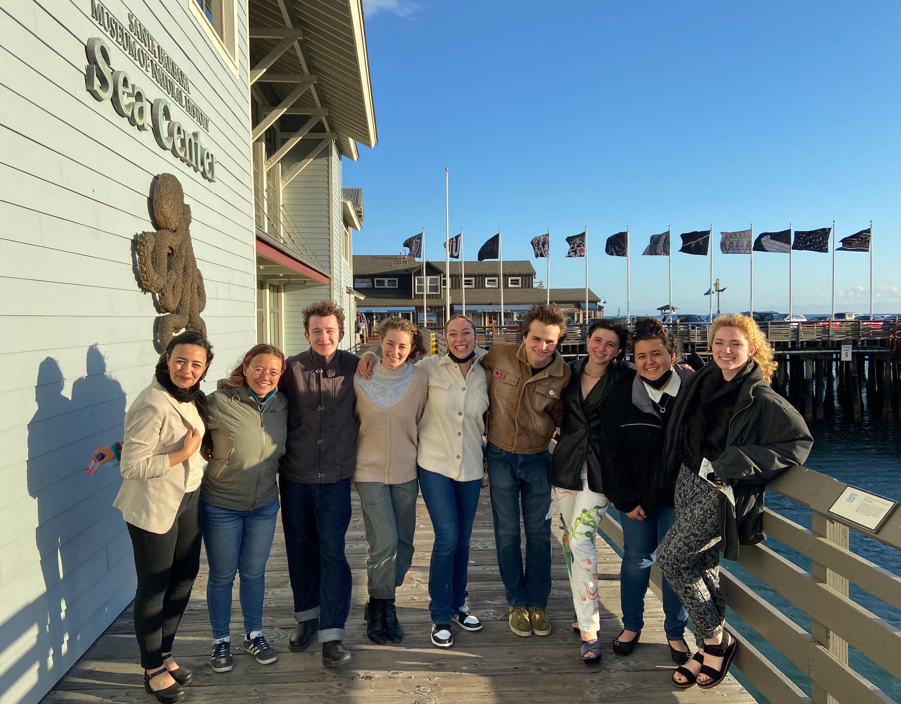
Above: Our twelve large flags.
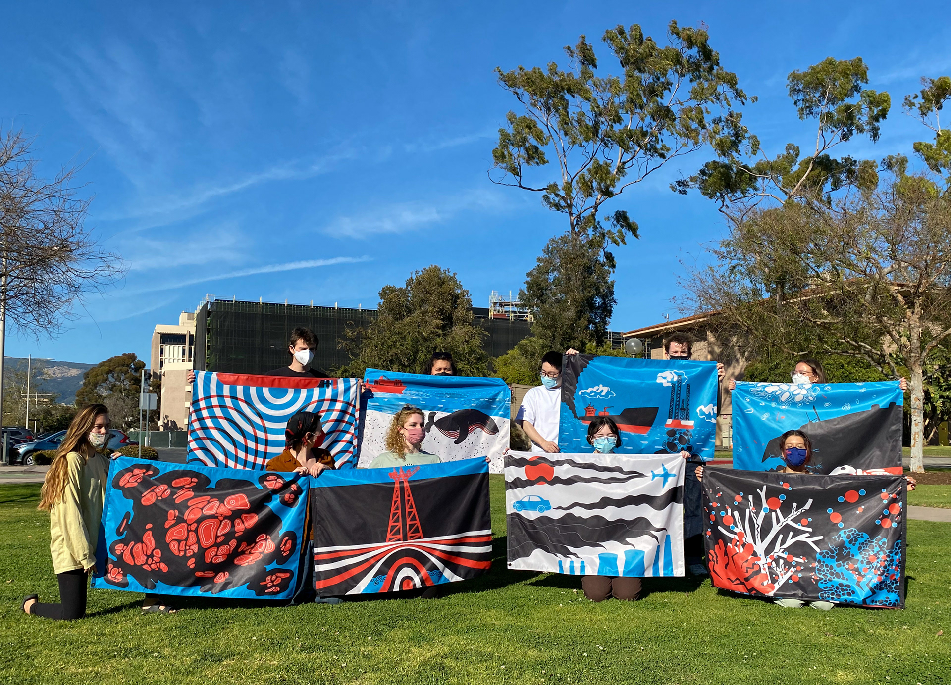
Above: Social Print Lab posing with the complete set of diptychs.
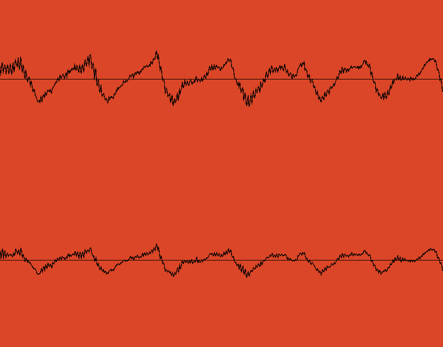
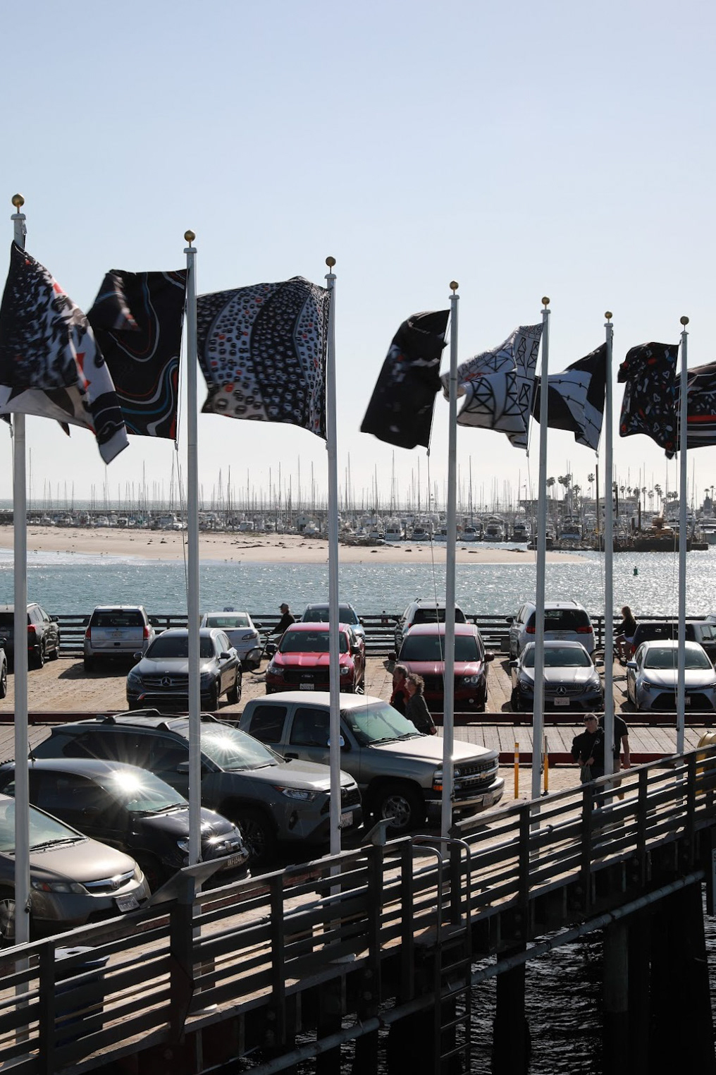
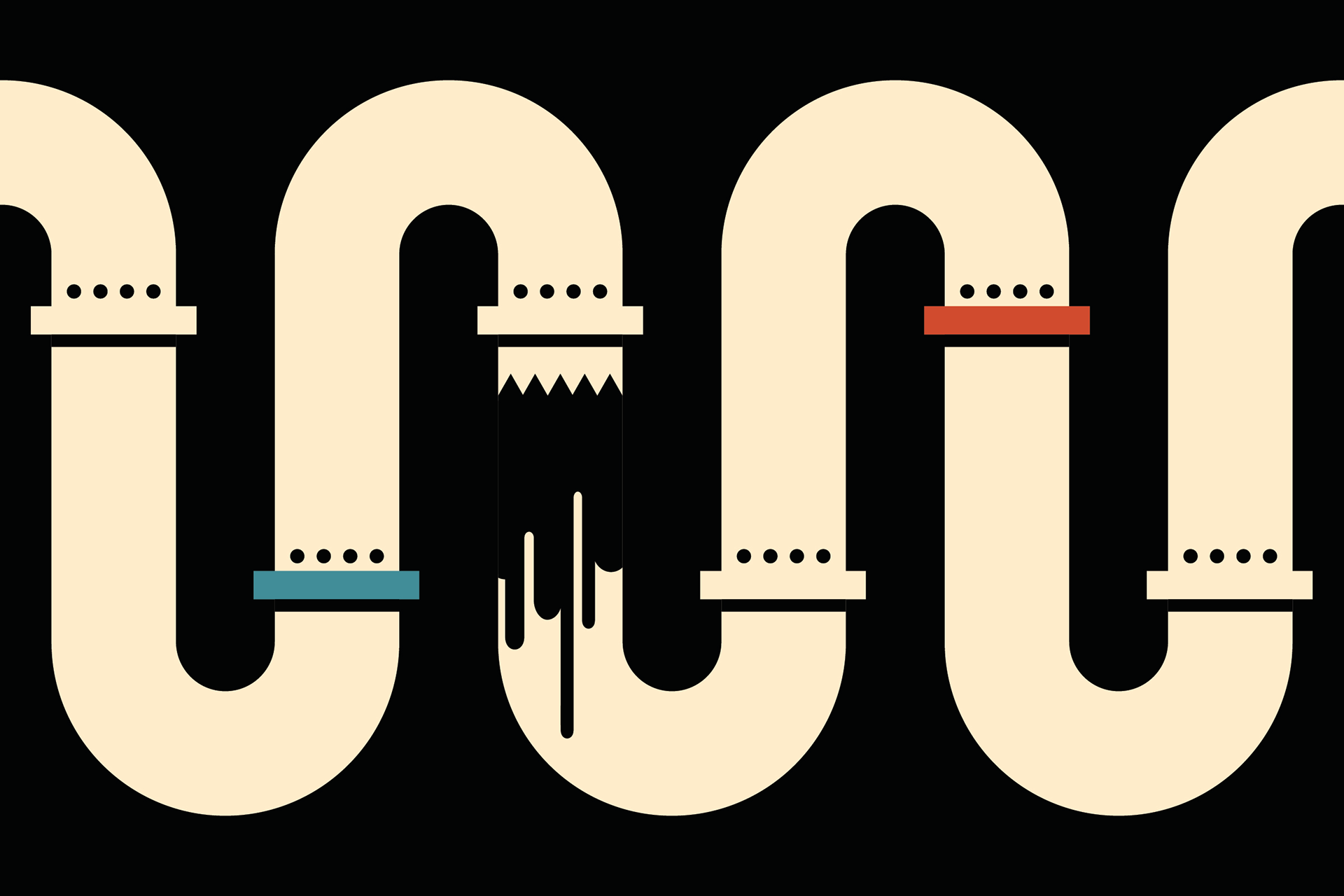
Smaller flags, each two by three feet, appear in pairs along Stearns Wharf. They represent the cycle of oil extraction and usage in four stages. Each pair of flags depicts a stage of oil extraction and the adverse effects it has on marine environments. This set of four diptychs is repeated around the perimeter of the wharf to communicate that extraction is ongoing.
Above: One of the four diptychs, depicting seismic exploration for oil (left) and one of its many cruel effects on wildlife (right).