Image via https://www.loc.gov/item/2013631993/
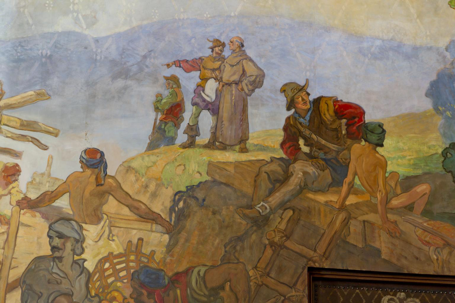
Before the mid-1500s, the coastal region that houses what we call Isla Vista was originally Chumash land. To them, the coastal mesa was known as Anisq’Oyo.
1567-1822 - The Spanish colonized the area and only a few hundred Chumash survived the Spanish Period.
1822-1846 - During the Mexican Territory Period, a Mexican land grant was given to Nicholas Augustus Henry Den. After his passing, his heirs sold off a majority of the land.
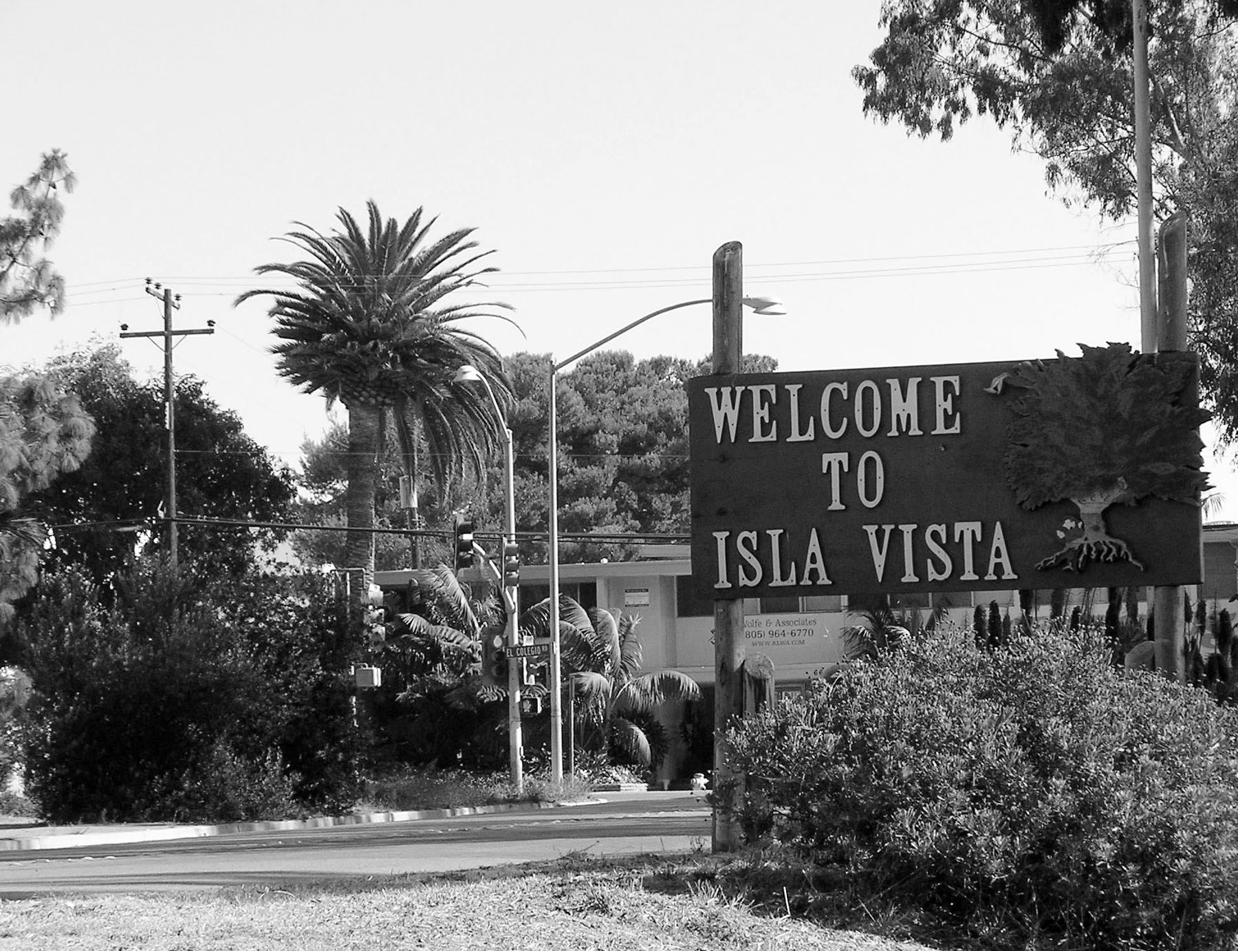
1915 - Pauline and John Ilharreguy traded $100 in gold for 157 acres of land. They named the area “Isla Vista”, and planned to develop the land and sell plots.
1925 - The Ilharreguys built and named the four major streets that run parallel to the bluffs — Del Playa Drive, Sabado Tarde Road, Trigo Road and Pasado Road.
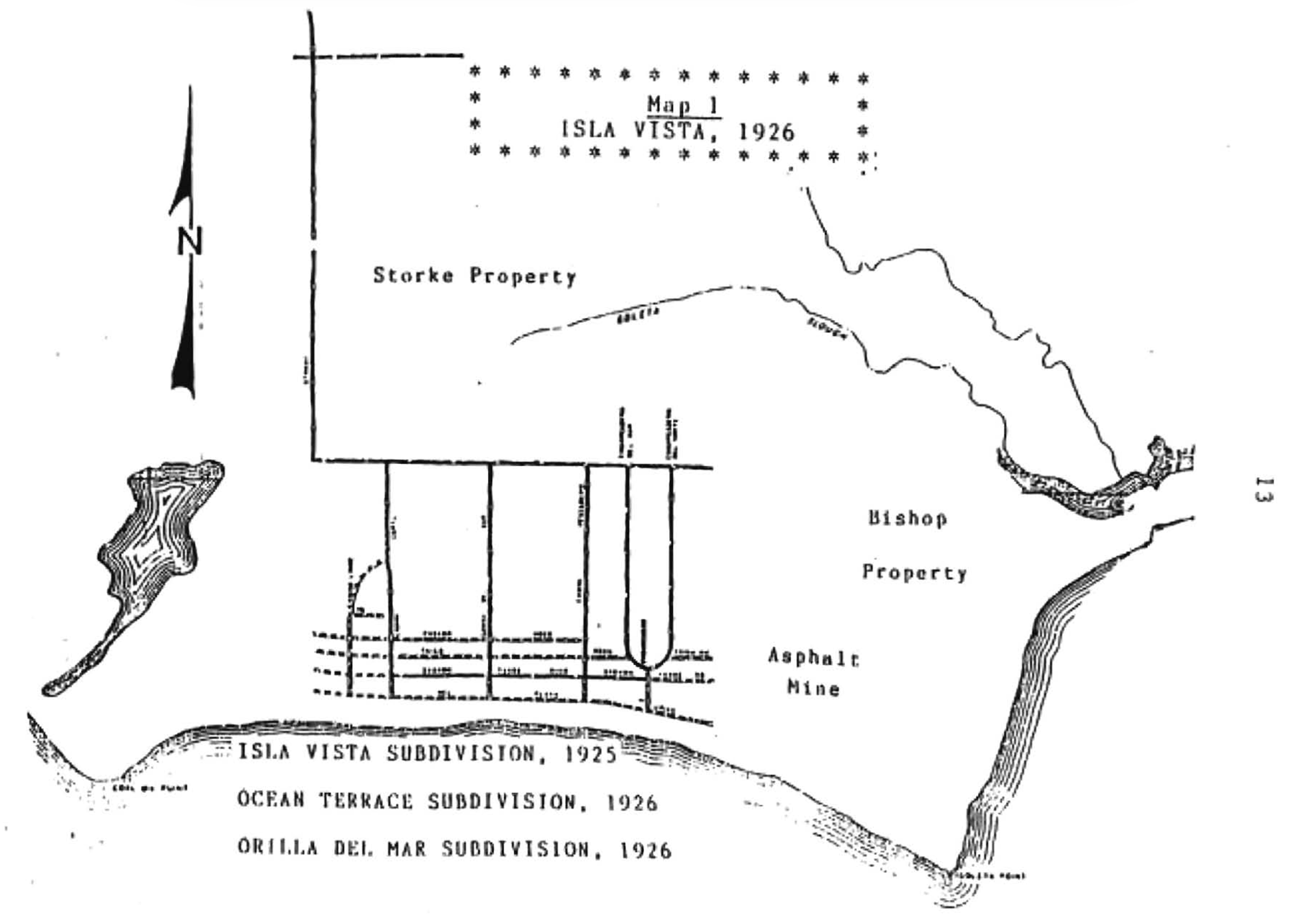
Image via Strand, Jennifer Hildreth. Evolution of a Boom Town: Isla Vista, California, 1915-1968
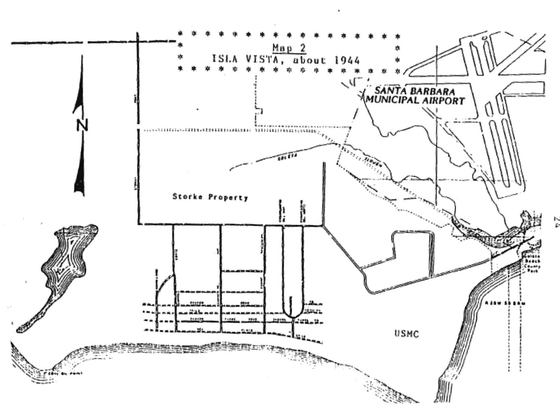
Image via Strand, Jennifer Hildreth. Evolution of a Boom Town: Isla Vista, California, 1915-1968
1941 - After the development plan for Isla Vista, Santa Barbara voters approved the creation of an airport in Goleta.
After the attack on Pearl Harbor, the US Marine Corps took control of the airport and acquired the Bishop Ranch. The Map illustrates how the surrounding area of Isla Vista looked.
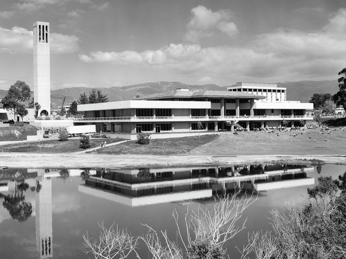
1944 - The state and UC Regents agreed to make Santa Barbara the seventh campus of the UC system. They originally had been located in the Riviera Campus in downtown Santa Barbara.

Image via https://brand.ucsb.edu/visual-identity/university-marks/seal
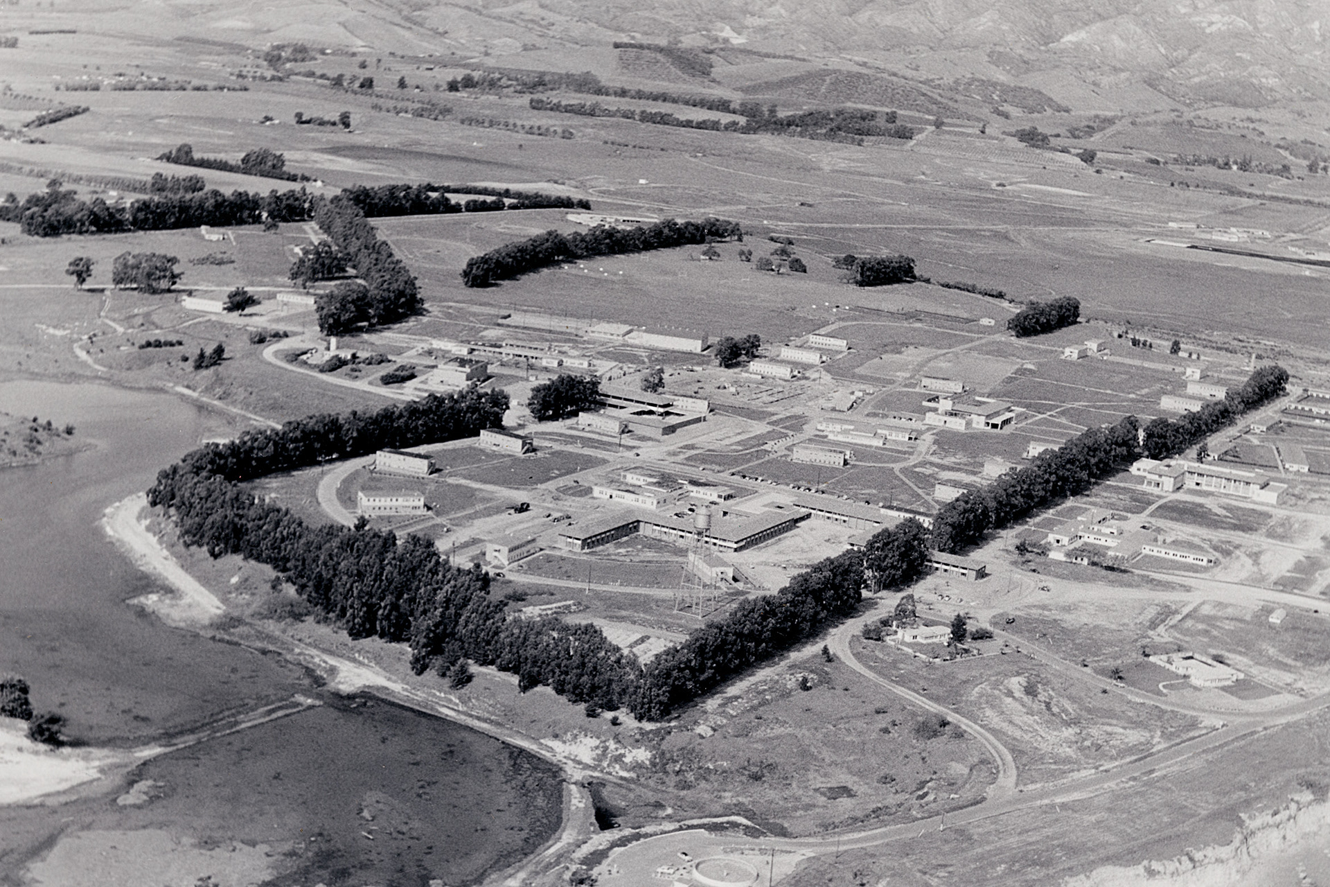
Image via https://www.ucsb.edu/about/history
1948 - At the end of WW2 the Marine base was closed and sold. UC purchased the land, “paying one dollar to obtain the title”.
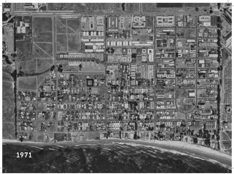
1954-1958 - The target population of 2500 students increased to 10,000 students, resulting in the mass construction of apartment buildings in Isla Vista.
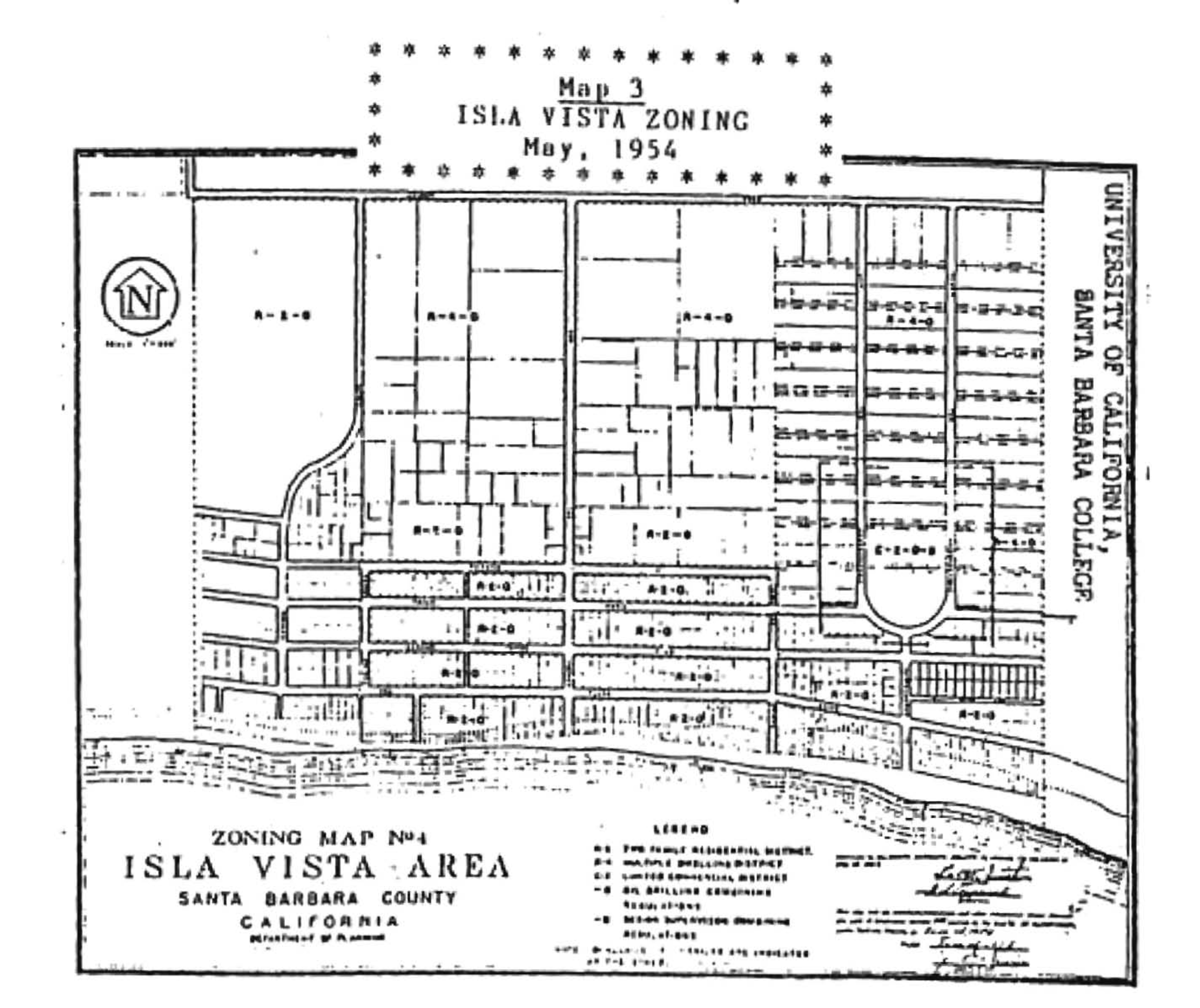
Image via Strand, Jennifer Hildreth. Evolution of a Boom Town: Isla Vista, California, 1915-1968
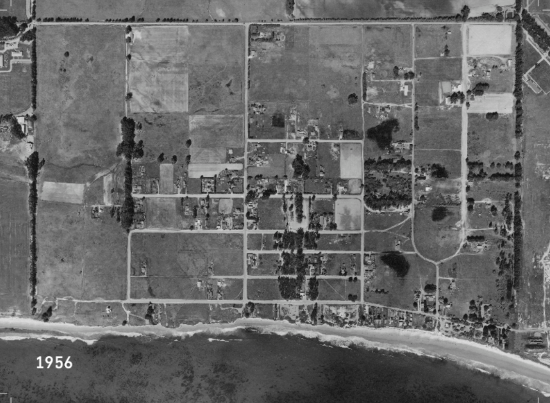
Image via https://www.ucsb.edu/about/history
1960s - Isla Vista was zoned for maximum occupancy. The County’s Board of Supervisors formed a committee that created a custom-made plan, unique in the state, called “student residential” zoning. An '"S" prefix on regular R-2 (duplexes) or R-4 (multi-story, apartments) zoning meant that such areas did not have to conform to the usual minimum setbacks from either the street or bluff, did not have to have the usual number of parking spaces per bedroom, etc.
These Zoning Laws had several implications on the surrounding area and continue to play a role in the housing crisis today.
1972 - Susan Atwater published a zoning proposal for IV to combat the housing issues in the area.
“[Zoning] regulations are made for several purposes; for example:
-to safeguard the public health
-to prevent undue concentration of population
-to decrease traffic congestion and its accompanying hazards
-to create a comprehensive and stable pattern of land uses…”
This zoning proposal was not passed. IV abides by unincorporated zoning laws, under UC’s discretion.
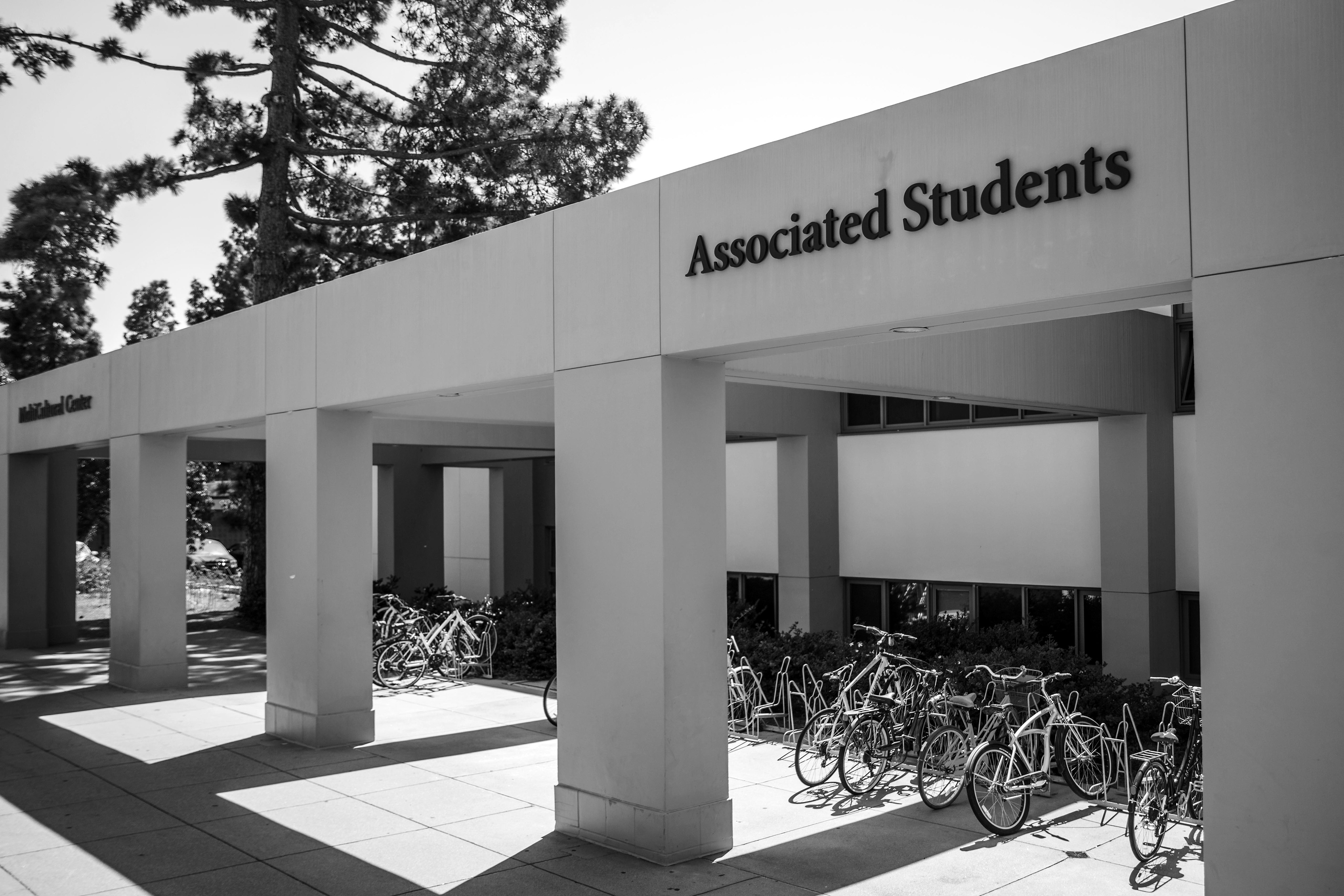
1999 - Isla Vista Tenants Union was established under the Associated Students of UCSB.
2010 - UC Board of Regents adopted a 10-year Long Range Development Plan for the Santa Barbara campus that proposed an enrollment cap of 25,000 students through the year 2025.
2013 - The Pardall Center opened in Isla Vista.
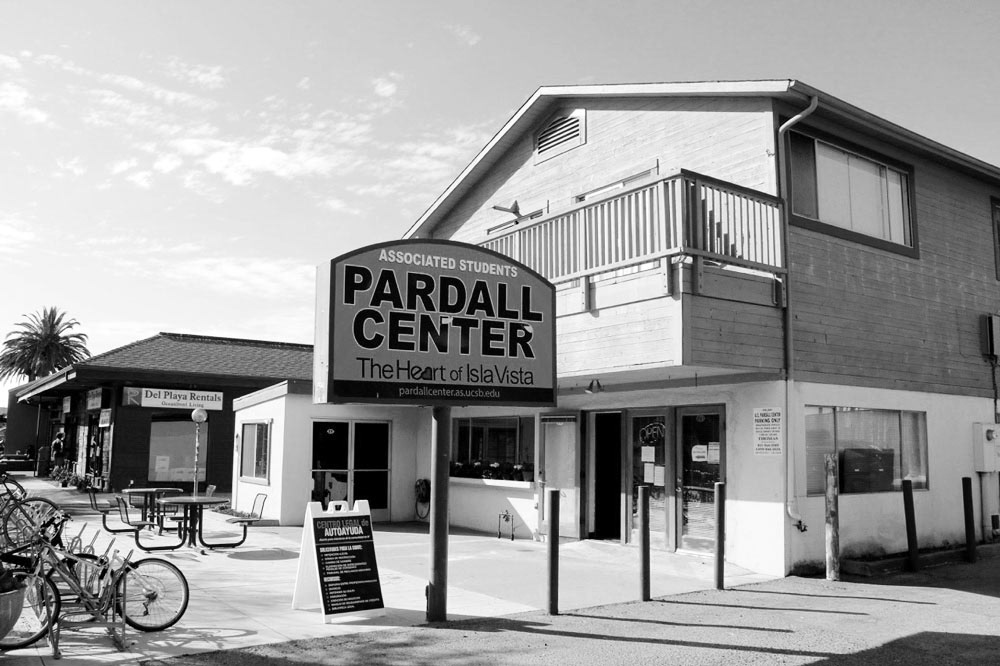
Image via https://pardallcenter.as.ucsb.edu/
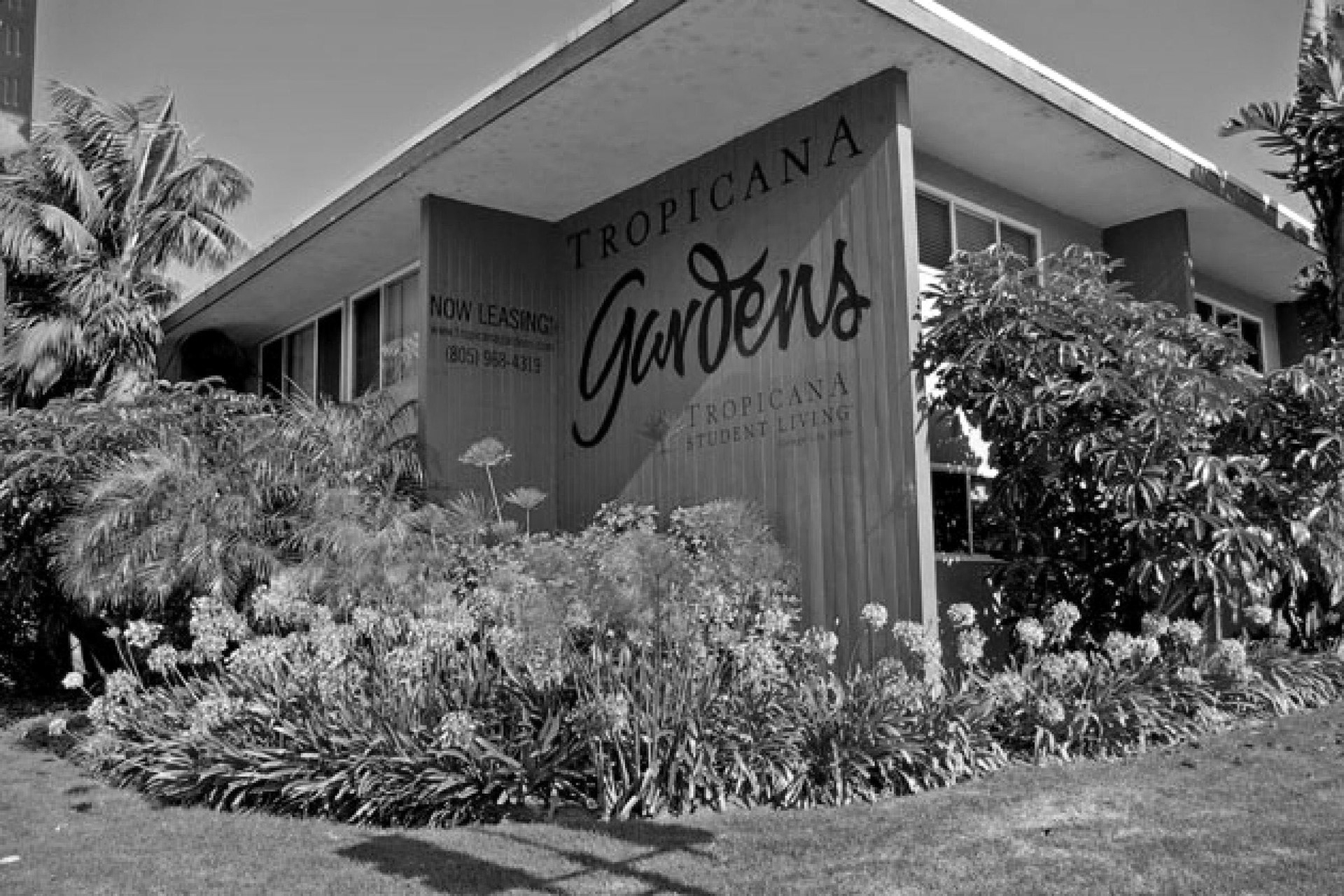
Image viahttps://www.noozhawk.com/article/uc_santa_barbara_buys_isla_vista_apartments
2015 - UCSB purchased Tropicana Gardens, Tropicana Del Norte, and the Tropicana Villas as additional student housing.
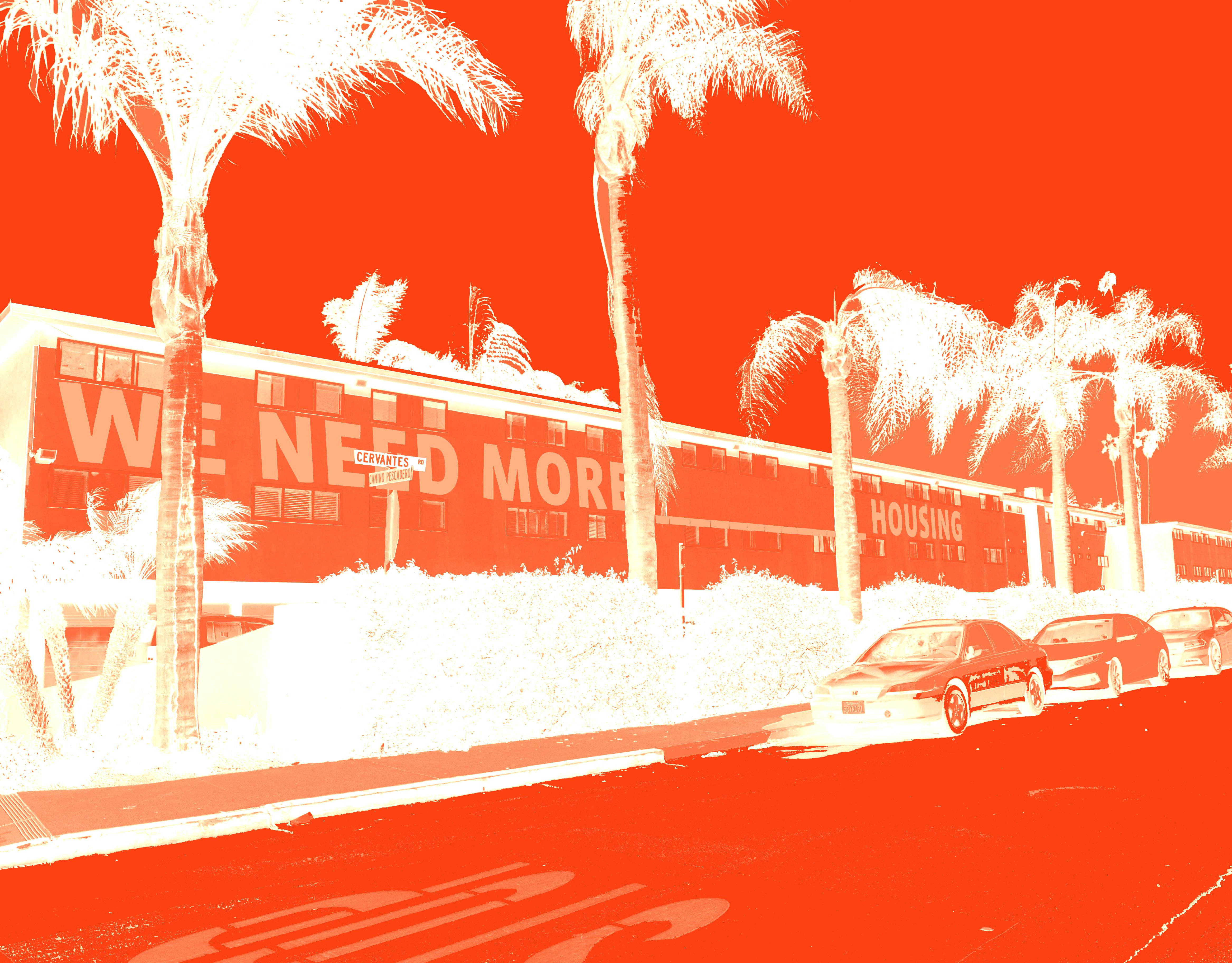
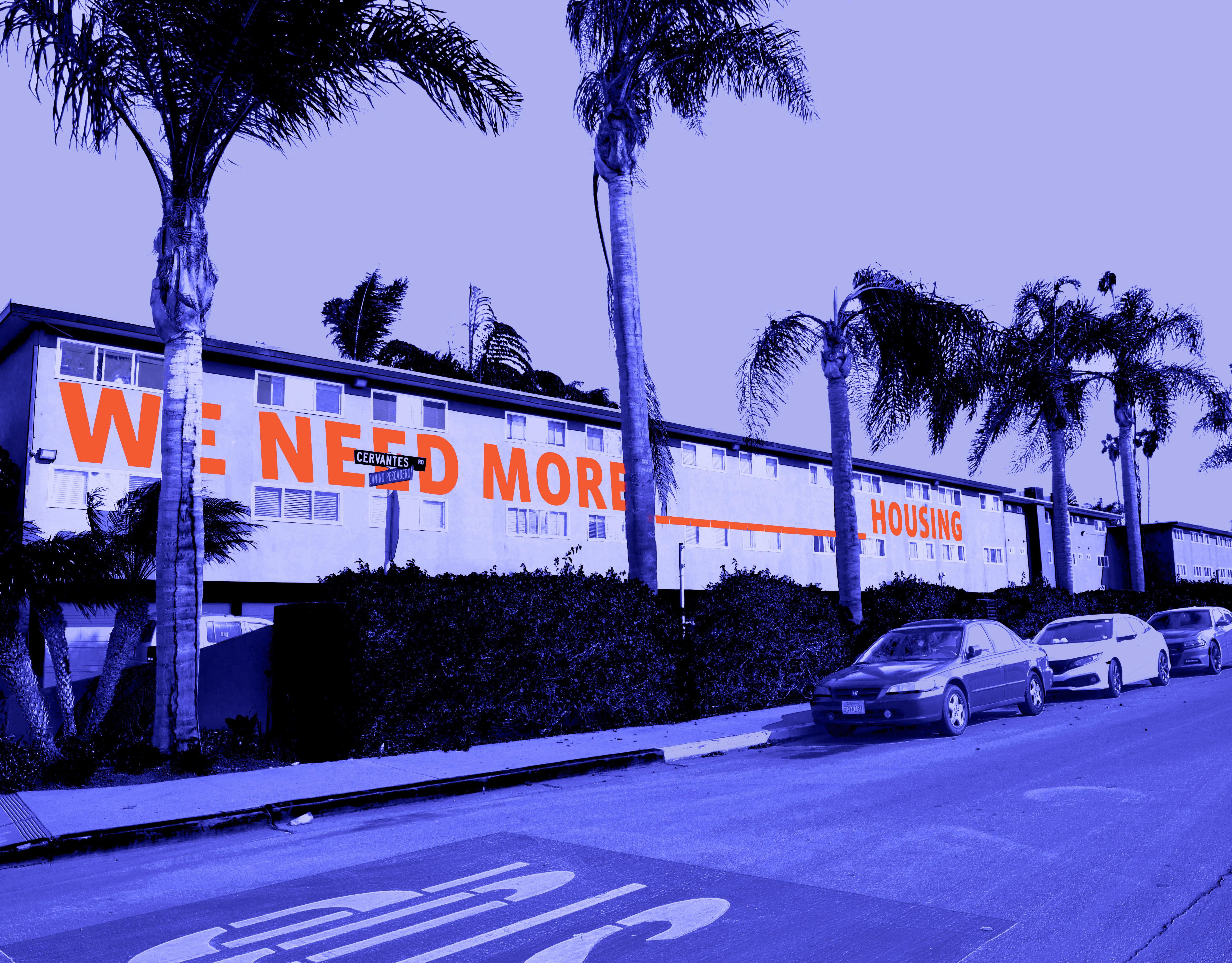
2020-2021 - UCSB student enrollment exceeded 22,000 students. Hundreds of students and families were unable to find affordable or habitable housing and some were left homeless.

Image via https://thebottomline.as.ucsb.edu/2021/10/there-is-no-housing-crisis
2021 - Munger Hall was proposed as a new housing facility and was faced with considerable backlash due to the proposed layouts and the unknown impact on the lives and personal development of students”.
Surrounding hotels offered temporary housing to a few hundred students for only the fall quarter, expecting them to have a permanent residence to move into with limited housing available.
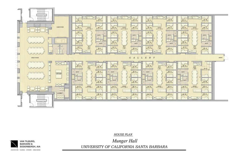
Image via https://www.noozhawk.com/article/proposed_ucsb_munger_hall_dorm_building_sparks_national_criticism
2022 - UCSB denied many continuing housing contracts and offered minimal rental listing services that students said were “not that beneficial” considering that private housing has been and continues to be full, unaffordable, and very limited.
References
Atwater, Isla Vista Zoning Study, 1972, courtesy of UCSB Special Research Collection
Lodise, Carmen (2019). Isla Vista : a citizen’s history (Second edition). Independently published.
Strand, Jennifer Hildreth (1987). Evolution of a Boom Town: Isla Vista, California, 1915-1968. M.A. Thesis, University of California, Santa Barbara.
County of Santa Barbara Documents, retrieved from UCSB Library Archive Collection:
Draft Environmental Impact Report - Goleta Valley:Dos Pueblos (1978), Isla Vista Zoning Study, Atwater (1972), Isla Vista Population holding Capacities (1972), Isla Vista demographic statistical ledger (1974), Isla Vista Annexation Planning Document (1971), Isla Vista Analysis of Population and Holding Distribution (1972), Illegal Drug Use and Economic Crime in Isla Vista - Statistical Analysis (1971), Local Agency Formation Commission - Incorporation of IV, Goleta Valley, Hope Ranch (1973), Recommendations for Isla Vista planning (1973), Santa Barbara Local Agency Formation Commission- Incorporation of the City of Goleta - Negative Declaration (2001)